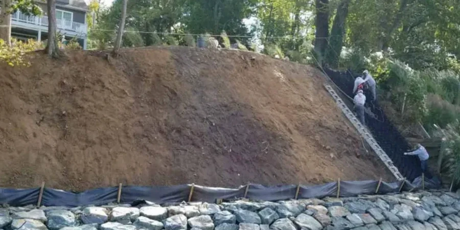
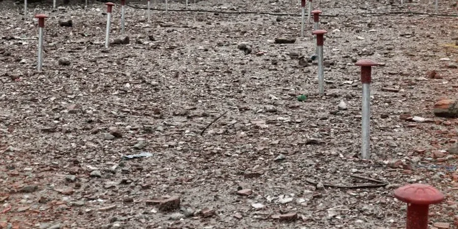
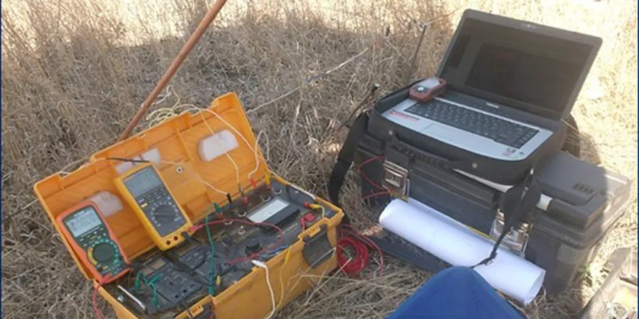
Melbourne's geology is defined by Quaternary basalts in the west and Silurian mudstones to the east, with the Yarra River floodplain depositing soft alluvial clays and silts up to 30 meters deep in places. These contrasting ground conditions make electrical resistivity / VES surveys particularly valuable for mapping subsurface stratigraphy without drilling. The method identifies changes in resistivity between basalt, clay, sand, and groundwater, providing a continuous profile of the ground. Before committing to boreholes, many project teams run a georradar survey alongside resistivity to correlate shallow anomalies, and a [MASW survey](/masw-vs30/) when shear-wave velocity data is also needed for seismic site classification. In Melbourne, this combined approach reduces uncertainty in early-stage design.
Resistivity surveys in Melbourne's western basalt plains identify buried rock profiles and groundwater pathways without a single drill hole.